Residents along Florida’s Gulf Coast are racing to evacuate as Hurricane Milton undergoes a staggering transformation, exploding from a tropical storm into a Category 5 behemoth in less than 48 hours. The storm, now packing sustained winds of 180 mph, is forecast to make landfall Wednesday evening near Tampa Bay, bringing a life-threatening storm surge of up to 15 feet. Meteorologists are calling the event historic, not just for its raw power, but for the alarming speed at which it strengthened, raising fresh questions about how a warming planet is rewriting the rules of extreme weather.
Record-Breaking Intensification
According to the National Hurricane Center, Milton’s central pressure plummeted to 897 millibars on Monday, making it one of the most intense Atlantic hurricanes on record. This rapid intensification—defined as an increase in wind speed of at least 35 mph in 24 hours—was fueled by record-warm sea surface temperatures in the Gulf of Mexico, which are running several degrees above the historical average. The storm’s core has contracted into a tight, symmetrical eye, a classic hallmark of a system that has tapped into an enormous reservoir of oceanic heat.
A Direct Link to a Warming Planet
Climate scientists are drawing a direct line between Milton’s behavior and global warming. A warmer atmosphere holds more moisture, providing additional fuel for storms, while rising sea levels amplify the reach of devastating storm surges. Dr. Samantha Vargas, a climate researcher at the University of Miami, noted that the conditions allowing Milton to form so quickly have become far more common in the last decade. “The atmosphere is primed with energy that didn’t exist 50 years ago,” she said. “Milton is not an anomaly. It is a preview of what these systems are becoming when they hit perfectly warm waters.”
Human Stories Amid the Statistics
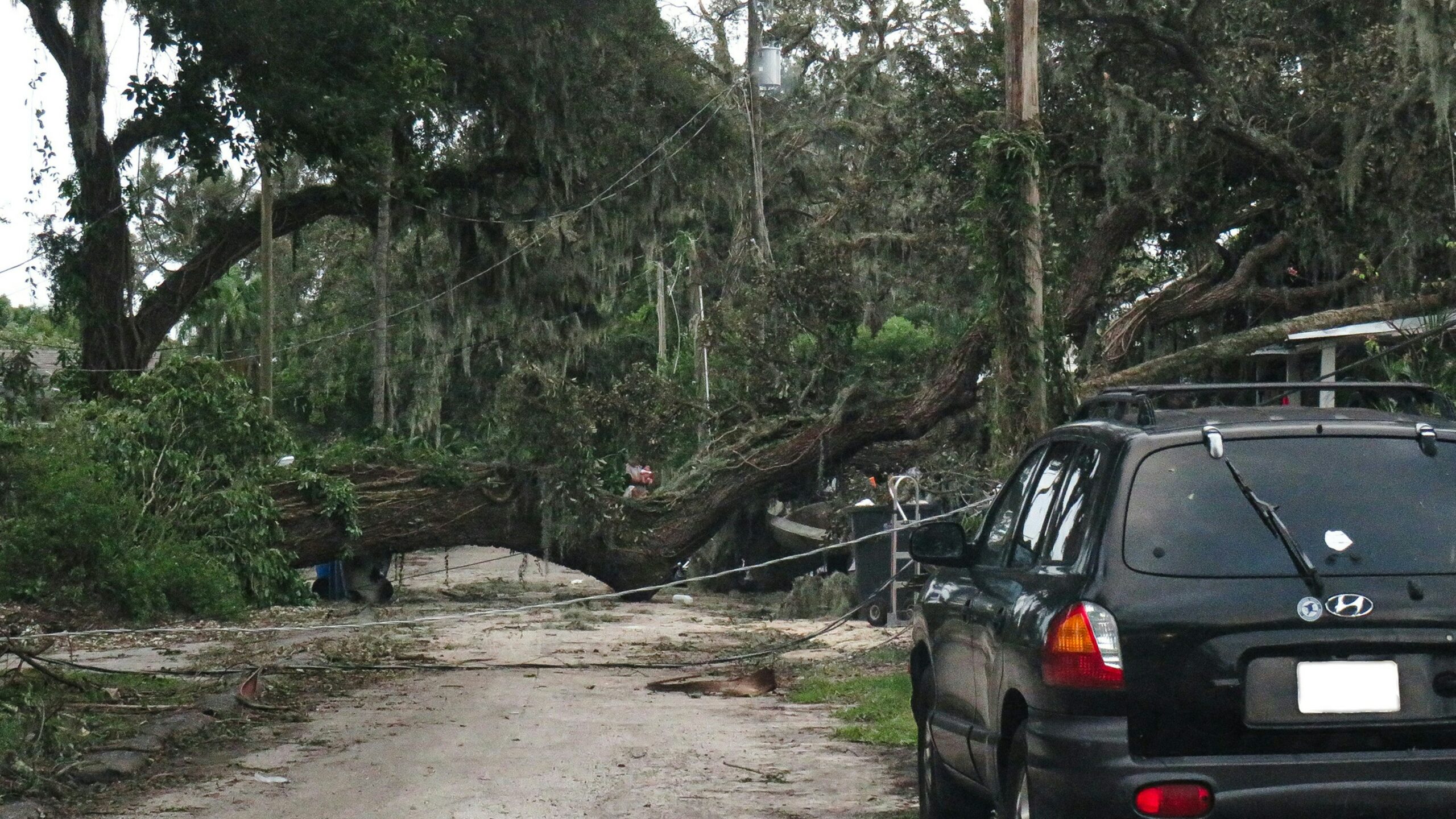
For those in the path of the storm, the statistics translate into harrowing decisions. In St. Petersburg, retiree Frank Delgado watched the highway fill with cars heading north, his pickup truck loaded with photo albums and a dog carrier. “We’ve been through storms before, but not like this,” he said, his voice strained. “The speed of this thing is terrifying. One day it’s a drizzle, the next it’s a monster.” Mandatory evacuation orders now cover more than a dozen coastal counties, with officials warning that anyone who stays behind cannot rely on emergency services responding during the peak of the storm.
The Broader Implications and Next Steps
The implications extend far beyond this single event. Milton arrives just weeks after Hurricane Helene battered the same region, underscoring a troubling pattern of back-to-back major storms. For policymakers, the question is no longer just about building stronger seawalls, but about addressing the environmental conditions that make such rapid intensification possible. As the storm churns toward land, the immediate focus remains on saving lives. However, the long-term challenge is clear: these storms are arriving sooner, intensifying faster, and packing more punch—forcing communities to rethink what it truly means to be prepared in an era of climate transformation.