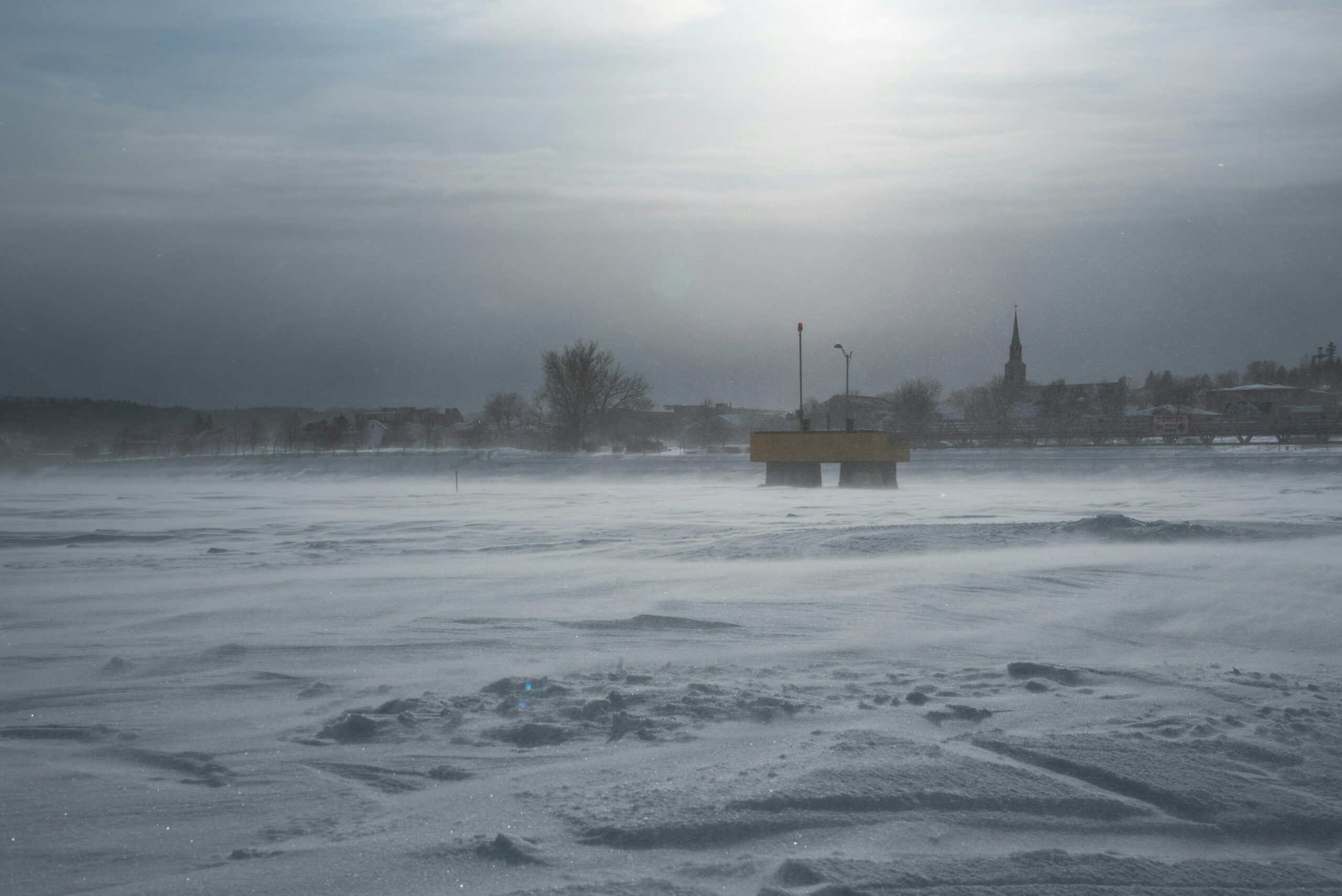
A powerful winter storm has barrelled toward the eastern seaboard, prompting urgent warnings from meteorological agencies and government officials across multiple states. Forecasts predict a dangerous convergence of heavy snowfall, high winds, and significant coastal flooding beginning late Thursday and continuing through the weekend, threatening power outages and major travel disruption for millions residing along the mid-Atlantic and Northeast coasts.
East Coast Braces for Intense Weather System
The incoming low-pressure system is rapidly intensifying offshore, drawing moisture and cold air necessary to produce a damaging mix of precipitation. The National Weather Service (NWS) has issued various alerts, including blizzard warnings for specific inland areas where 12 to 18 inches of snow could accumulate. However, the most immediate danger lies in the coastal zones, where astronomically high tides coinciding with the storm surge are expected to flood low-lying areas, imperiling homes and infrastructure.
Governors from Virginia to Massachusetts have declared states of emergency, activating National Guard units and mobilizing resources in anticipation of severe conditions. Transportation officials are pleading with residents to complete essential errands immediately and stay off the roads once precipitation begins, citing the potential for whiteout conditions and rapid icing.
“This is not a storm to take lightly,” stated meteorologist Dr. Anya Sharma during a press briefing Wednesday. “The combination of sustained gale-force winds and the sheer volume of precipitation means recovery efforts will be hampered. Our primary concern is the potential for widespread power failures lasting several days, particularly in areas already saturated from recent rainfall.”
Understanding the Flood Risk
Unlike typical winter storms, this event presents a severe compound threat. While interior communities face deep snow, communities directly on the oceanfront—including vulnerable locales like the Outer Banks, parts of New Jersey, and Cape Cod—are under threat from erosive waves and flooding.
The NWS has defined the flood threat as “major,” warning that water levels could exceed those seen during several recent significant hurricanes. Such conditions necessitate mandatory evacuation orders in the most exposed areas. Local emergency management agencies are advising residents in flood-prone zones to:
- Secure outdoor items: Anything that could become a projectile in high winds.
- Monitor local alerts: Heed all evacuation notices immediately.
- Prepare emergency kits: Include non-perishable food, water, blankets, vital medications, and battery-powered chargers for at least 72 hours.
Utility companies, meanwhile, report positioning crews proactively, but caution that prolonged, strong winds could make immediate repairs to downed lines impossible until the storm passes.
Broader Implications and Next Steps
The storm’s path marks the latest example of extreme weather testing the resilience of coastal communities. The repeated need for emergency preparations and costly repairs raises critical questions about climate adaptation and the sustainability of coastal infrastructure.
As the storm nears, officials stress that individual preparedness remains the strongest defense. Residents who have not yet secured supplies or made alternative housing plans are urged to do so within the next 24 hours. Emergency shelters are opening throughout the region, providing safe haven for those who have evacuated or lost power. The severity of the forecast demands maximum caution and full cooperation with local authorities in the affected regions. Information regarding road closures and shelter locations can be found via state and local emergency management websites.


